
In human history, certain works stand out as rays of knowledge, illuminating the path of progress and understanding. Among these, the Civitates Orbis Terrarum holds a special place, not merely as a collection of city views, but as a revolutionary tool that shaped the way early modern Europeans perceived the world around them. This monumental atlas, published between 1572 and 1617, emerged at a pivotal moment when the boundaries of the known world were expanding rapidly, and the hunger for knowledge about distant lands and cultures was insatiable.
The Braun Hogenberg Civitates Orbis Terrarum, named after its visionary creators Georg Braun and Frans Hogenberg, was more than just a cartographic masterpiece. It was a window into the urban fabric of the 16th and early 17th centuries, offering readers unprecedented access to the architecture, customs, and daily life of cities across Europe and beyond. In an age before photography or easy travel, these meticulously crafted views provided a virtual journey around the globe, satisfying curiosity and inspiring imagination in equal measure.
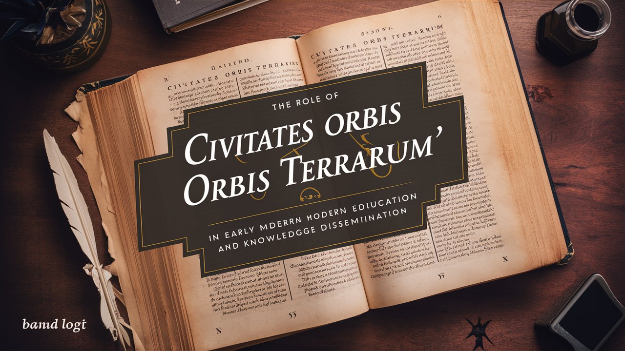
Educational Impact of the Civitates Orbis Terrarum
It played a tremendous role in early modern education, serving as:
-
A primary source for geography lessons
-
A tool for teaching urban planning and architecture
-
An aid in understanding different cultures and societies
-
A resource for historical studies
Its impact on education was multifaceted:
-
Visual Learning: The detailed city views provided a visual context for textual descriptions, making learning more engaging and memorable.
-
Comparative Studies: Students could compare different urban layouts, architectural styles, and geographical features across various cities.
-
Cultural Awareness: The depictions of local customs and dress in many views fostered an understanding of cultural diversity.
-
Interdisciplinary Approach: The atlas combined elements of geography, history, art, and social studies, promoting a holistic educational approach.
Knowledge Dissemination Beyond Academia
The influence of the Civitates Orbis Terrarum extended far beyond formal educational settings:
-
Merchants used it to familiarize themselves with foreign trading ports
-
Diplomats consulted it to prepare for missions to different cities
-
Artists and architects drew inspiration from its detailed urban landscapes
-
Travelers used it as a guide and reference during their journeys
The atlas served as a form of early modern “virtual travel,” allowing people to explore distant lands without leaving their homes. This accessibility of information had profound implications:
-
It broadened horizons and stimulated curiosity about the wider world
-
It challenged preconceptions and stereotypes about foreign cultures
-
It inspired further exploration and travel
-
It contributed to the development of a more globally aware European society
Technological and Artistic Innovation
The creation of the book represented significant technological and artistic achievements:
-
Advanced printing techniques allowed for the mass production of detailed images
-
The combination of bird’s-eye views with street-level details offered a novel perspective
-
The integration of text and image provided a comprehensive understanding of each city
-
The collaborative nature of the project, involving multiple artists and informants, set new standards for cartographic works
Key Features of the Civitates Orbis Terrarum
The Legacy of the Civitates Orbis Terrarum
The influence of this monumental work extended well beyond its initial publication:
-
It set a new standard for urban cartography that influenced mapmakers for centuries
-
Many of its views remained the primary visual reference for certain cities well into the 18th century
-
It contributed to the development of urban planning and architectural theory
-
The work continues to be a valuable historical resource for researchers and scholars today
Challenges and Limitations
Despite its groundbreaking nature, it had its limitations:
-
Some views were based on secondhand information, leading to inaccuracies
-
The focus was primarily on European cities, with limited representation of other continents
-
The static nature of the images couldn’t capture the dynamic growth of cities over time
-
The high cost of the volumes limited access to wealthy individuals and institutions
However, these limitations also provide valuable insights into the state of knowledge and perceptions of the time, making the work a fascinating subject of study in itself.
A Window to the Past, A Mirror to the Present
All in all, this book remains a monumental achievement in cartography and cultural documentation. As we continue to navigate our increasingly interconnected world, the lessons and inspirations drawn from this masterpiece remind us of the enduring value of visual learning and cross-cultural understanding. The legacy of Frans Hogenberg and Braun’s work continues to enrich our appreciation of urban history and global diversity.
At Arader Books, our collection showcases rare facsimiles of the renowned Civitates Orbis Terrarum and other cartographic treasures. Immerse yourself in intricate 16th-century cityscapes and uncover stories hidden in every detail. From medieval towns to bustling ports of emerging empires, each page brings history to life.
Visit Aradar Books today and let this piece of cartographic heritage inspire your journey through the annals of time.